Scopes
A scope is a preloaded geography that the server renders. Every request must specify exactly one scope. The scope determines which features are drawn, which projection is used by default, and which IDs are valid in data=, regions=, and related parameters.
Scopes are built from OSM-derived GeoJSON at deploy time and loaded into memory at server boot. Adding a new scope is an operator task, not a self-service URL parameter.
Examples
World map — 229 country features, Natural Earth projection
https://api.maproll.io/map.svg?scope=world&data=US:200,CN:150,IN:80,BR:60,RU:120,DE:95,FR:40,GB:55,JP:90,CA:30&theme=dark&legendTitle=Sample

Romania — 42 județe, conic-conformal projection
https://api.maproll.io/map.svg?scope=RO&data=RO-B:500,RO-CJ:200,RO-IS:150,RO-TM:180,RO-BV:120,RO-CT:100&theme=light&legendTitle=Population

Romania highlight-only (no values)
https://api.maproll.io/map.svg?scope=RO&data=RO-B:1,RO-CJ:1,RO-TM:1,RO-IS:1&theme=dark
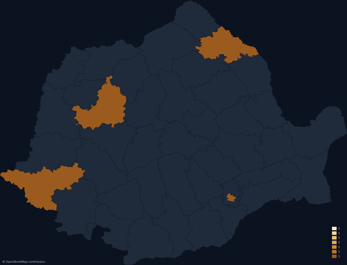
Parameters
| Param | Type | Default | Allowed | Notes |
|---|---|---|---|---|
scope | string | — | world, RO | Required. Case-sensitive. Returns 404 if unrecognised. |
ID conventions
IDs follow international standards so they compose with external datasets without a mapping step.
| Scope | ID format | Example |
|---|---|---|
world | ISO 3166-1 alpha-2 | US, DE, RO |
RO | ISO 3166-2 | RO-B, RO-CJ, RO-TM |
IDs are matched case-insensitively at normalisation time and uppercased before lookup. Unknown IDs do not cause an error — they are silently skipped and reported in the X-Geo-Warnings response header (e.g. unknown-ids:XX,ZZ). See Response headers for details.
Detail levels
Each scope ships at three detail levels: low, medium, and high. The server selects the level automatically:
worldrequests default tolowto keep render times fast at the typical 1200 px width.- All other scopes (
RO, …) default tomedium.
There is no URL parameter to override the detail level — the server picks the best level for the scope.
Currently shipping scopes
| Scope | Features | Layer | Default projection |
|---|---|---|---|
world | 229 OSM-derived country polygons | countries | naturalEarth1 |
RO | 42 județe (counties) | regions | conicConformal |
For the full table including detail-level file sizes, see Scopes list.
Notes
- Requesting an unknown scope returns
404with{"error":"invalid_scope", ...}. - The
worldscope includes overseas territories and disputed regions as separate features wherever OSM carries them. - Adding a custom scope requires the operator to drop GeoJSON files into
downloads/regions/<name>/, runnpm run build:geo, and restart the server. It is not a self-service feature in the current version.
Related
- Scopes list — full enumerated table of scopes, features, and sizes
- Projections — each scope has a default projection; you can override it
- GET /map — full query-parameter reference
- POST /render/map — JSON and CSV body reference